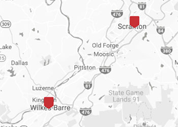
Map

To use the following interactive map featuring ten distinct layers of Indicator data, first locate the clickable legend control. Select the desired indicators by checking their respective boxes, which will update the map to display the chosen data layers. Access the dropdowns located in the legend to view the specific range of data being viewed. Layers are displayed on top of each other, and any layer selected will hide all data selected below it. Utilize the Zoom and Pan tools to navigate to a specific geographic area.